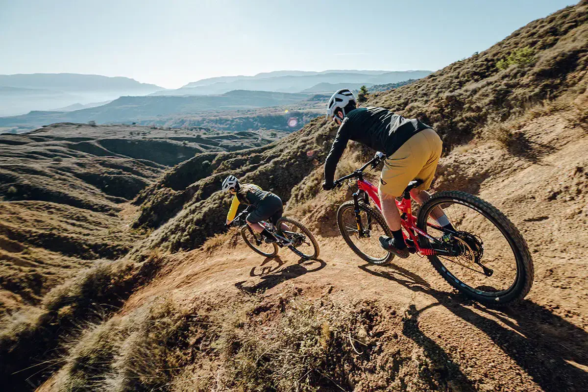
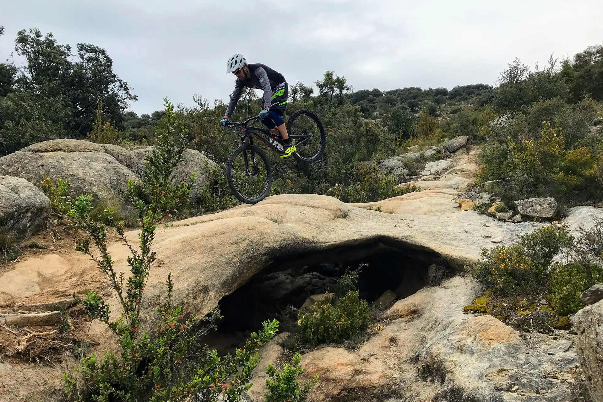
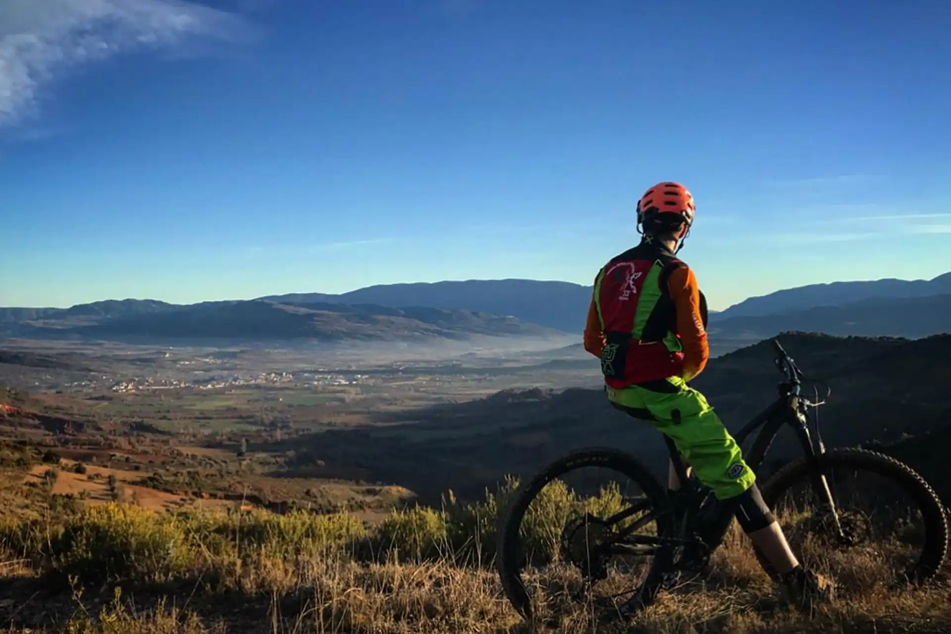
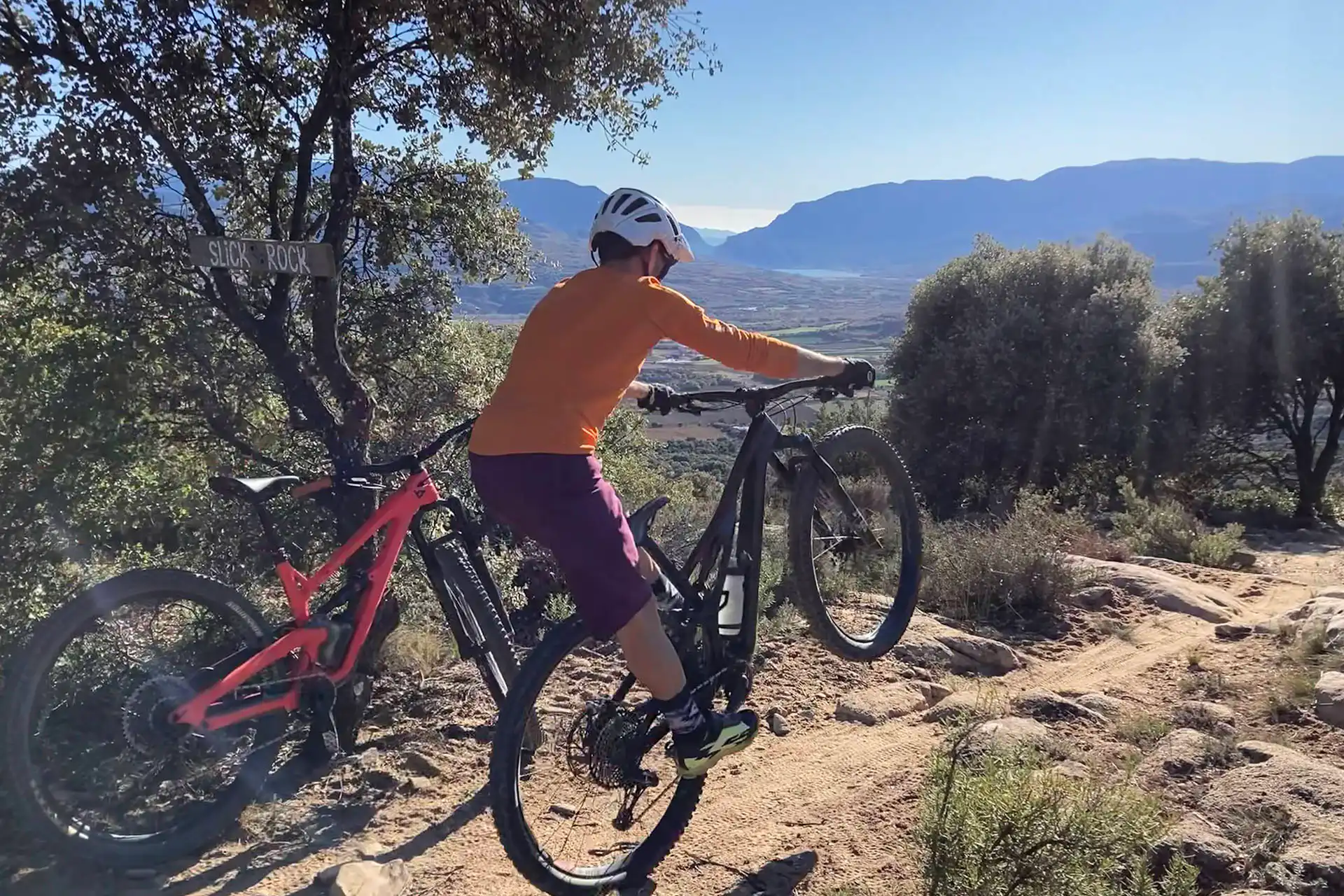
A loop that strings together some of La Gessera’s most legendary and grin-inducing singletracks
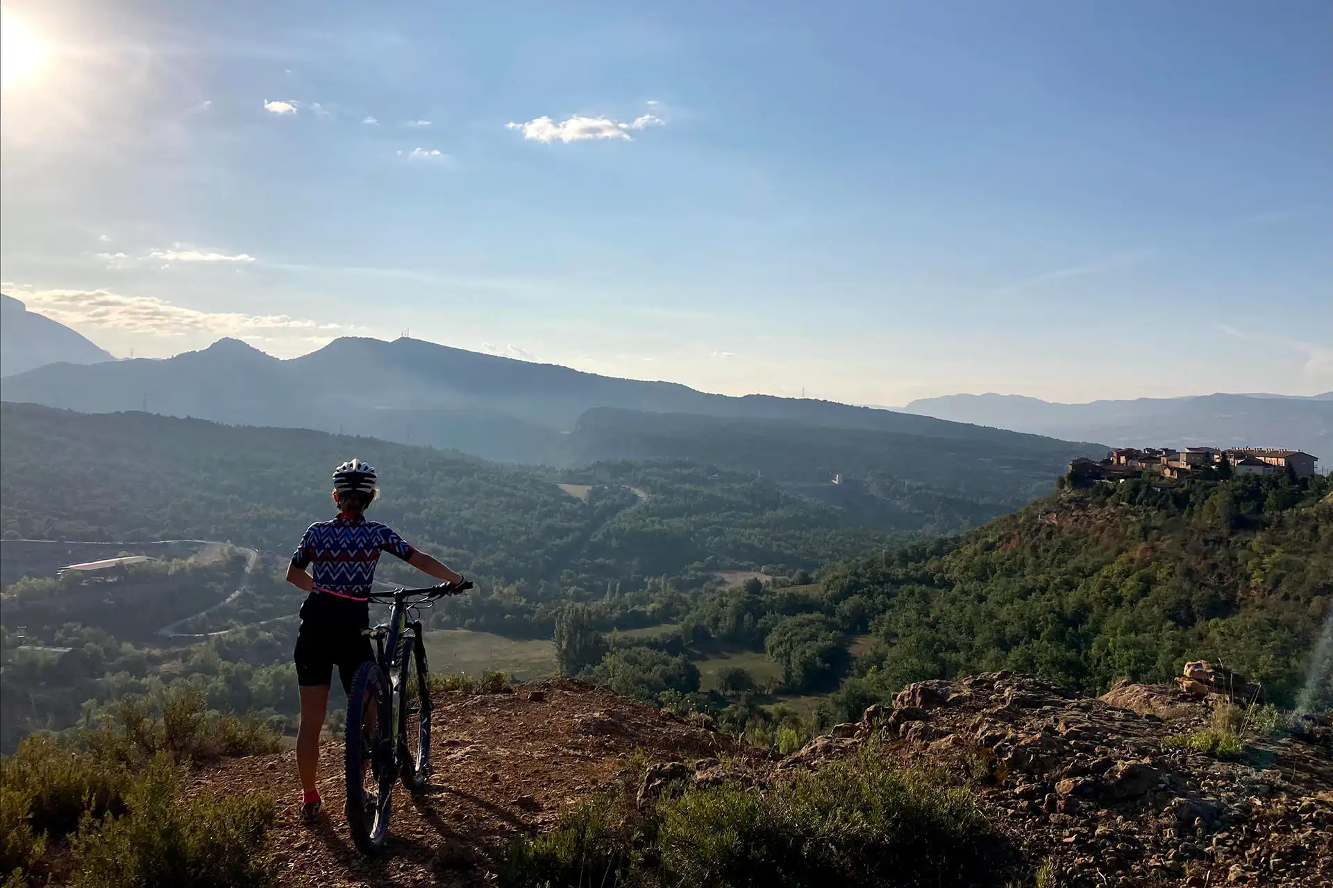
We kick things off with a steady road climb up to the tiny village of Tendrui. Keep the noise down and soak in the quiet—this is also your last chance to fill bottles, as there’s no more water along the route.
From there, we grind up a dirt track to the top of the ridge, where the fun really starts: the drop into Escolopendra, one of the most entertaining trails in the whole area. At the bottom, it’s time to point the bars uphill on the Pujada de la Muerte, a spicy little climb that pops you right back to the top to hook into the Sisquet Loop—short, but pure joy from start to finish
The Borda del Sisquet trail winds through oak forest and delivers you to the gateway of Serengueti. From here, we dive in until we hit the junction with Afganistrail, then follow that all the way to the Gessera fire road. A quick push back up links us to Les Esquerdes, which drops us right back to the Serengueti–Afganistrail crossroads. Now it’s time for the full Serengueti descent all the way to the tarmac.
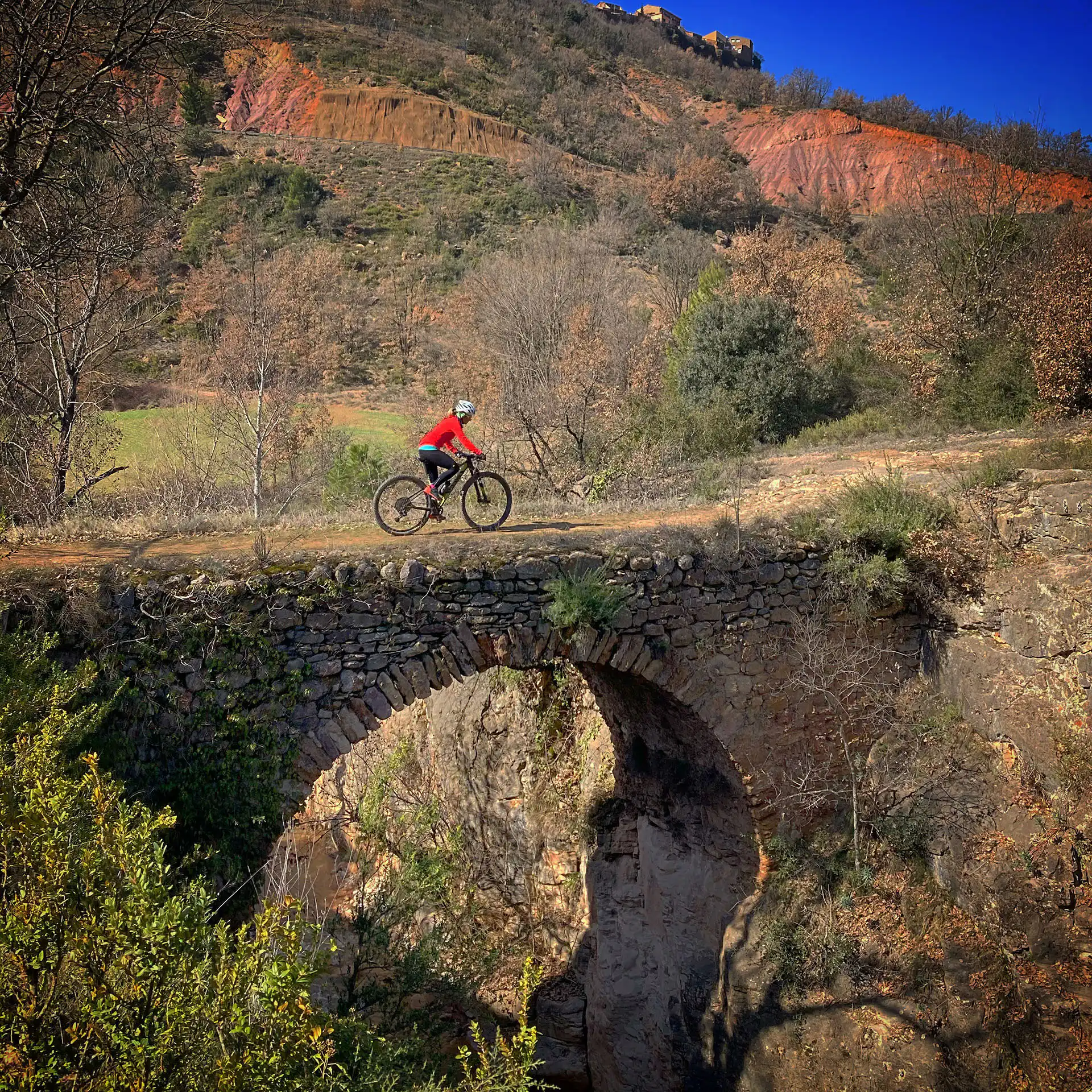
From there, we roll back towards Tremp via the Torre del Fèlix, crossing the Riucos ravine. In foggy or cold weather, it’s wise to skip this final stretch of dirt and head back on the road instead—unless you fancy wrestling with some sticky, tyre-sucking mud.
After heavy rain—sometimes even the next day or two—you’ll find the trails caked in sticky clay, making them pretty much unrideable.
On cold winter days, it’s best to skip the Escolopendra descent. Its shaded sections hold onto nighttime frost, which melts into mud by midday—only to freeze again overnight. The result? A freeze–thaw cycle that keeps the trail in a state of near-permanent winter sludge.
On days of heavy fog, once you’ve finished Serengueti, it’s best to head back to Tremp via the road. This way you skip the Torre del Fèlix and the Riucos ravine—both chilly, damp spots that are almost guaranteed to be muddy.
On heavy rain days—and even the day after or following days—we recommend switching zones altogether and hitting the “DRIBLANT LO FANG” route instead
Normally, the best conditions for this route occur in spring and autumn.
On days when the ground is compact, due to rain and humidity in previous weeks, the best conditions for flying over the clay of our territory are given.
The route can be done perfectly, but you have to take into account that it is very exposed to the sun and the heat.
Extreme caution must be taken on the descents, because the very dry clay does not have the grip desired by cyclists.
Always yield to other cyclists and pedestrians, warn of your arrival in time and slow down.
Do not scare the animals by shouting or making unnecessary noise. You are in their environment.
Take your dog on a leash, especially on the busiest trails.
Respect the signs or fences of private property or hunting grounds.
Follow the established routes, don’t take shortcuts.
Control speed and braking, avoiding skids that erode the ground unnecessarily.
Do not litter.
Avoid clayey areas on muddy days due to rain or fog. Respect the route symbols.
Check your bike before you go out and always carry a repair kit.
Use a helmet, wear gloves, goggles and protection.
Know your physical condition and choose the route based on it. Always evaluate the gradient, not just the distance.
Keep an eye on weather forecasts, they can be changeable.
It is recommended to do the routes with GPS navigation support. The routes are not physically signposted.
It is important to be insured in the practice of mountain biking, which is why we recommend obtaining a federal license or private accident insurance.
The Lo Podall association will not be held responsible for the implicit risks involved in a sporting activity of this type, such as falls, making dangerous descents, misdirection, misuse of common spaces with other activities, etc. Also, it will not be held responsible for the misuse of the routes or for possible imprudences committed by users.