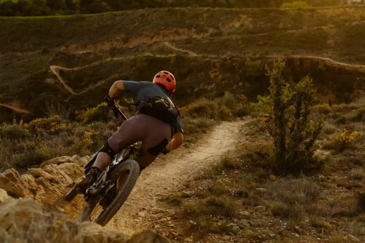
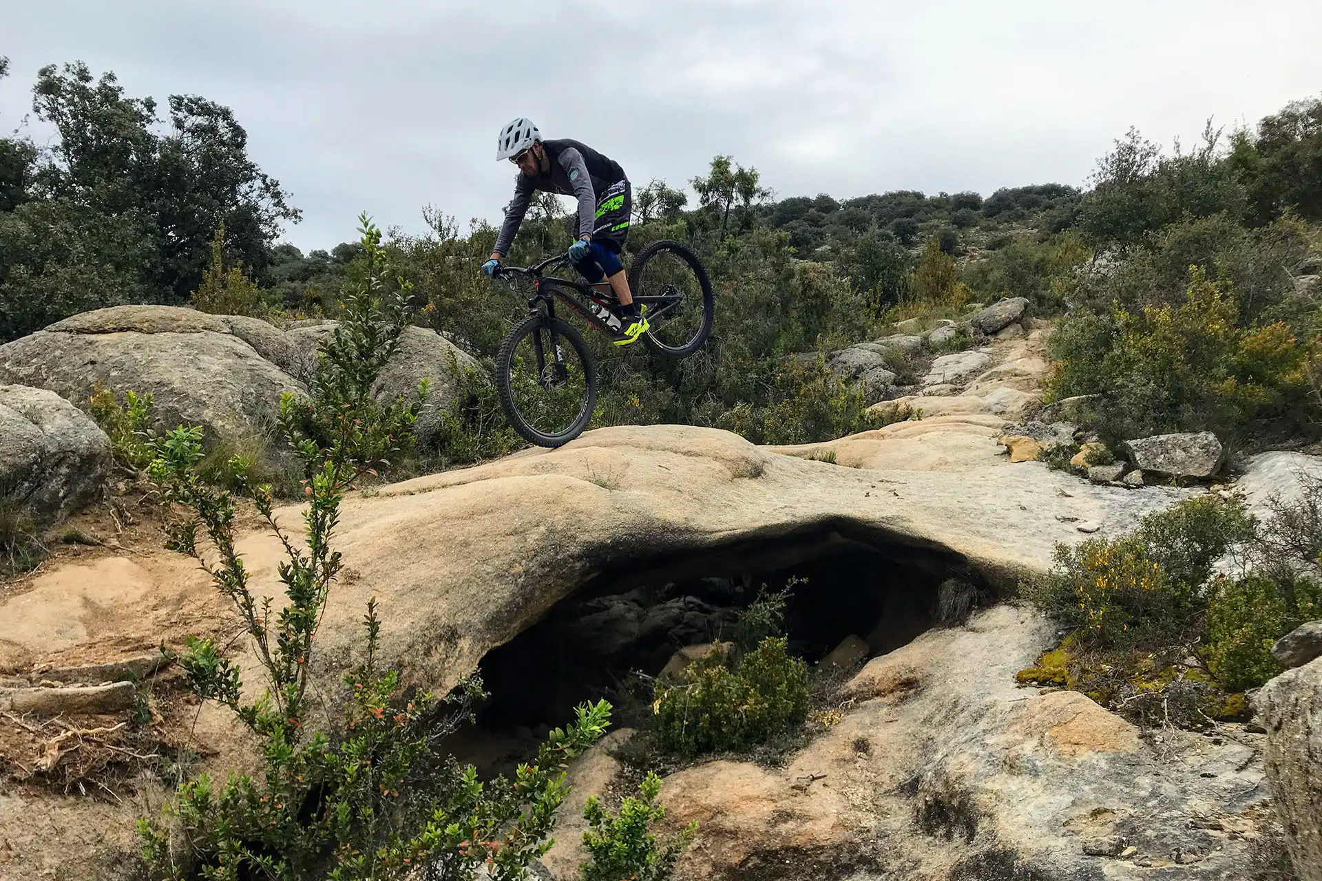
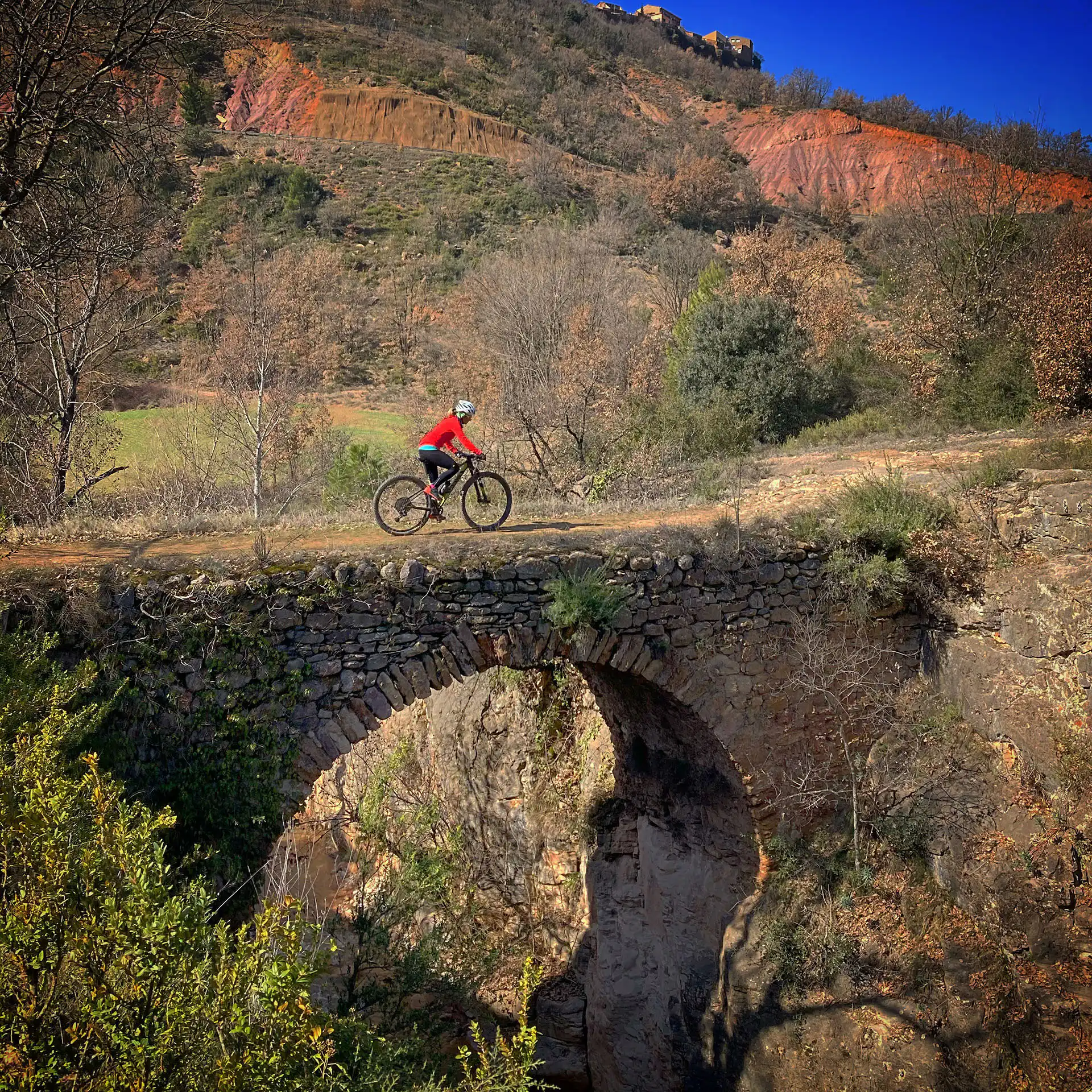
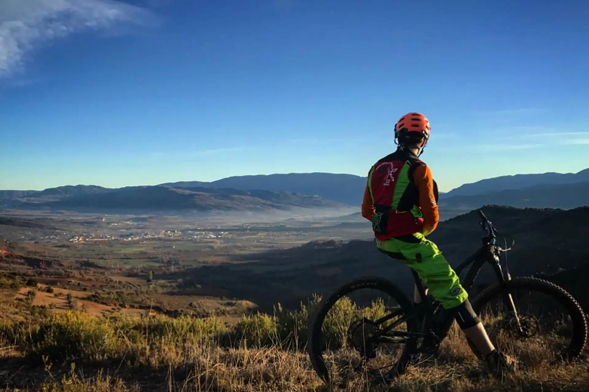
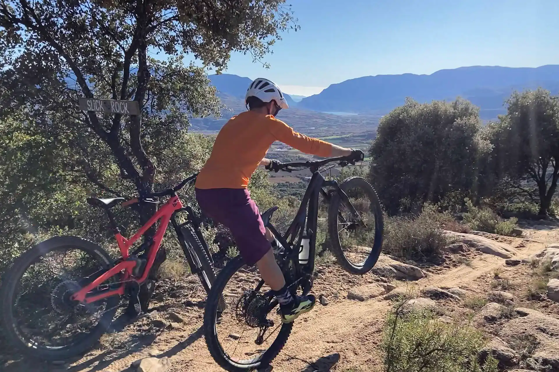
This route takes us through the old paths that once connected the villages of Puigcercós, Puigmaçana, and Claret — the very first trails used by locals for mountain biking. Over time, and with the emergence of new routes, these paths fell somewhat into disuse, but they have recently been modified to prevent erosion and make them more appealing. Even so, they are not as frequented as other, more popular routes, which gives them a special charm for those seeking peace and the romantic feeling of exploring remote areas — especially during peak seasons, when it’s not always easy to escape the crowds.
The route begins in Tremp, where we’ll take the greenway towards Pla de Palau. We’ll follow this path until we reach the climb that leads to the first trail. At kilometer 7.4, we’ll need to pay attention, as the route runs alongside an irrigation canal that can sometimes be overgrown with vegetation, making passage more difficult. If we encounter obstacles, we’ll simply turn left and continue along country paths until we reach Puigcercós. From there, we’ll follow the track to the site of the old village of Puigcercós, which disappeared after a landslide. Today, only half of the tower of the former castle remains standing, accompanying us on the descent.
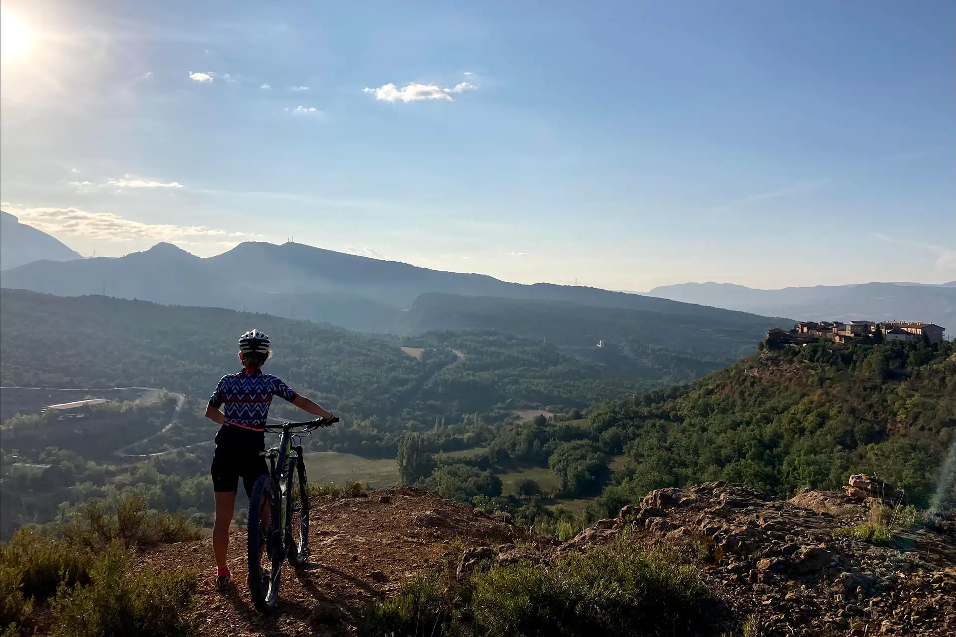
The recently improved trail offers wide, fun curves that lead us to a rugged ravine. From there, we’ll take a track that climbs up to the ridge above Puigmaçana — one of the villages with the most spectacular views in Pallars Jussà. At this point, we’ll connect with the trail of the same name, which descends into another ravine. Next, we’ll face a steep and challenging climb along a narrow path until we reach the road to the Port de Figols. We’ll follow the road until we find the start of a trail that will take us to Claret, a village known for its scenic viewpoint, offering impressive panoramic views of the region with the Pyrenees in the background.
In Claret, we’ll find a picnic area with barbecues and a water fountain, making it an excellent spot to rest and recharge. The final part of the route follows a trail that, although less appealing at the start, becomes much more fun and engaging towards the end — a section that has also been recently improved. The descent leads us to the Riucós ravine, where we’ll take a track that brings us back to Tremp.
On days of intense rain, including the next day or days after, we will find a lot of clayey mud on all the paths of the route, which will prevent us from driving.
On cold winter days, we’ll avoid this route, as the trails pass through very shaded areas where the nighttime cold causes moisture to freeze and then turn back into mud by midday. This cycle creates persistent muddy conditions throughout most of the winter.
On days of adverse conditions, we directly recommend changing zones and doing the Driblant Lo Fang route.
Normally, the best conditions for this route occur in spring and autumn.
On days when the ground is wet and compact, due to rain and humidity in previous weeks, the best flu conditions are given to fly over the clay of our territory.
The route can be done perfectly, but you have to take into account that it is very exposed to the sun and the heat.
Extreme caution must be taken on the descents, because the very dry clay does not have the grip desired by cyclists.
Always yield to other cyclists and pedestrians, warn of your arrival in time and slow down.
Do not scare the animals by shouting or making unnecessary noise. You are in their environment.
Take your dog on a leash, especially on the busiest trails.
Respect the signs or fences of private property or hunting grounds.
Follow the established routes, don’t take shortcuts.
Control speed and braking, avoiding skids that erode the ground unnecessarily.
Do not litter.
Avoid clayey areas on muddy days due to rain or fog. Respect the route symbols.
Check your bike before you go out and always carry a repair kit.
Use a helmet, wear gloves, goggles and protection.
Know your physical condition and choose the route based on it. Always evaluate the gradient, not just the distance.
Keep an eye on weather forecasts, they can be changeable.
It is recommended to do the routes with GPS navigation support. The routes are not physically signposted.
It is important to be insured in the practice of mountain biking, which is why we recommend obtaining a federal license or private accident insurance.
The Lo Podall association will not be held responsible for the implicit risks involved in a sporting activity of this type, such as falls, making dangerous descents, misdirection, misuse of common spaces with other activities, etc. Also, it will not be held responsible for the misuse of the routes or for possible imprudences committed by users.