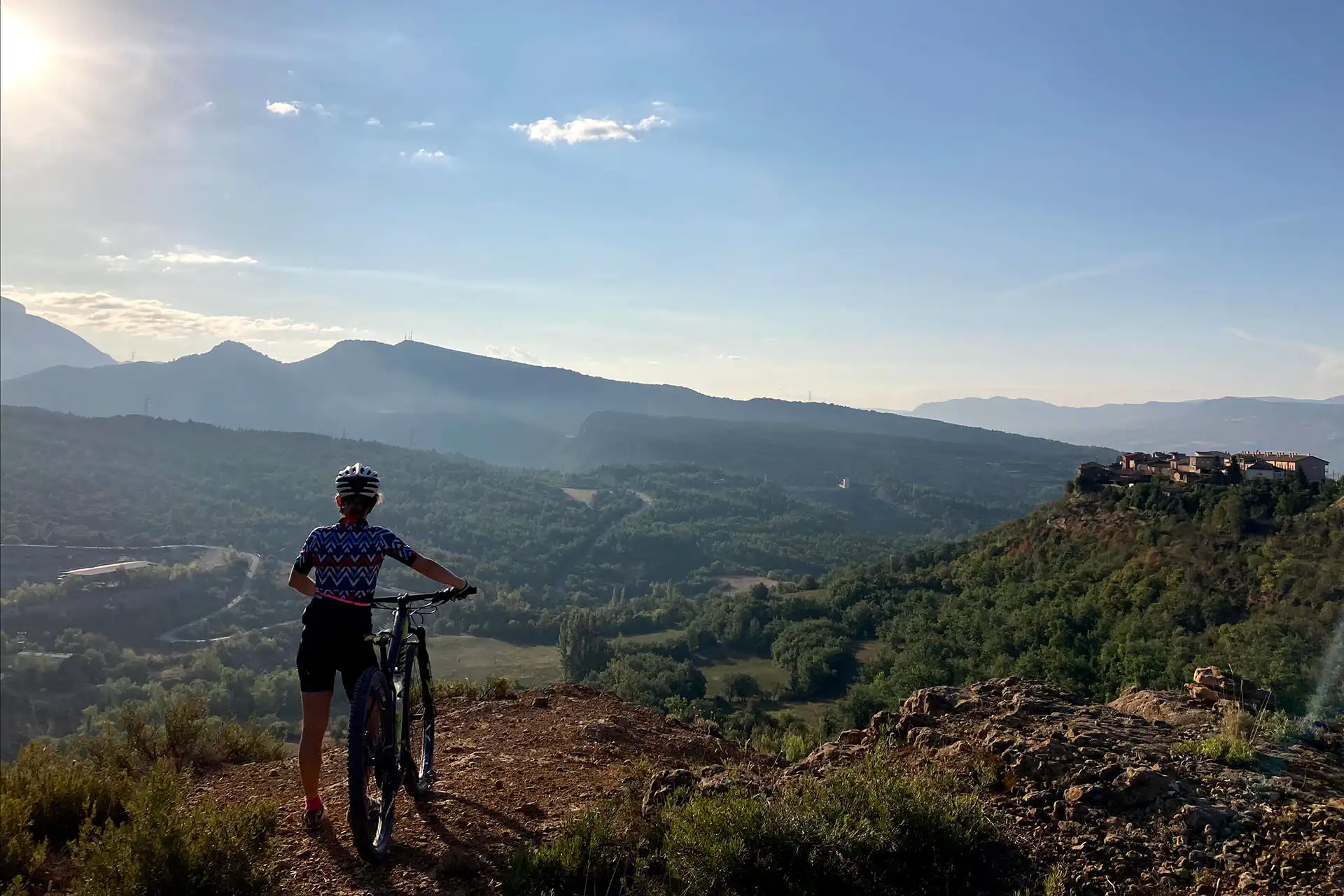
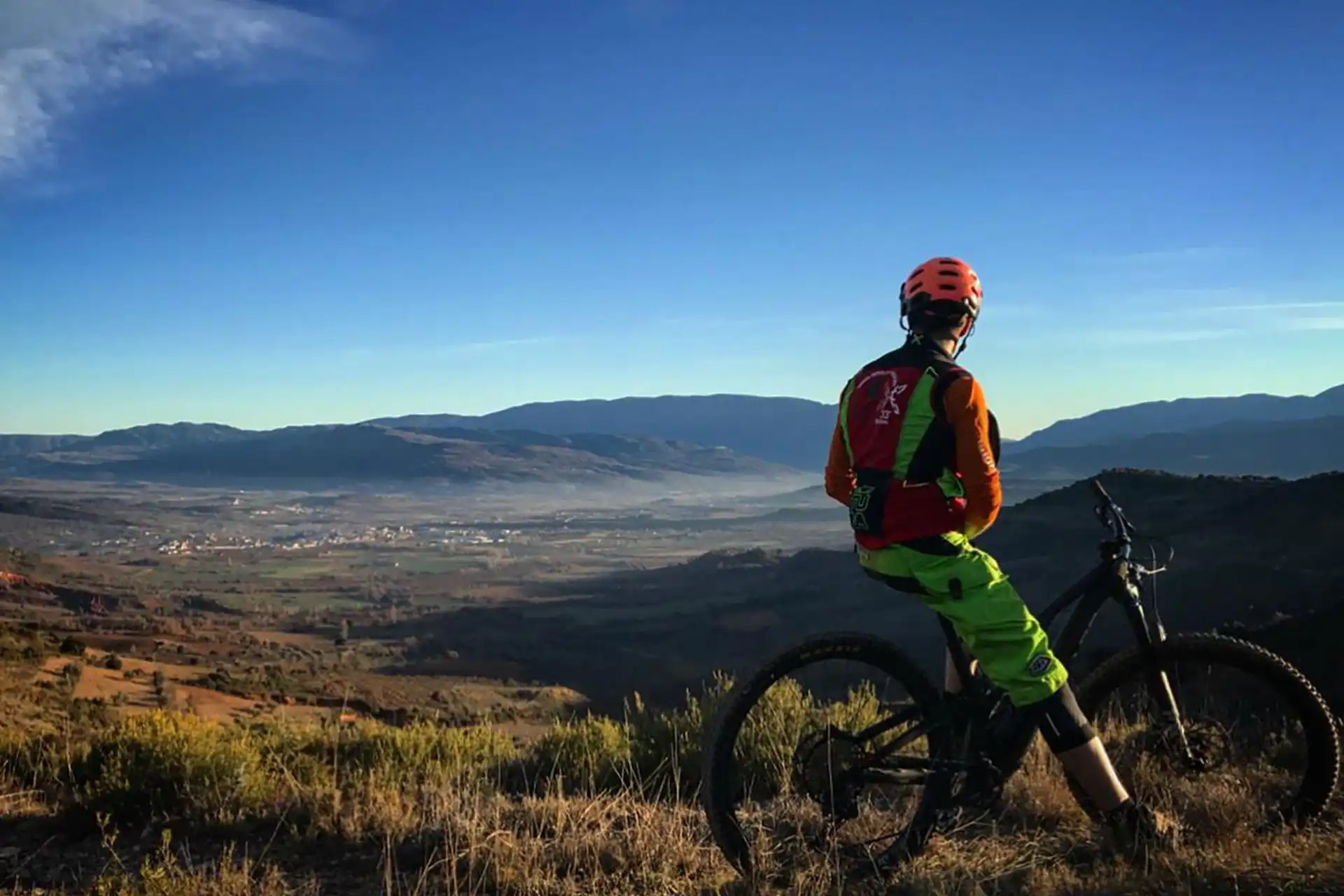
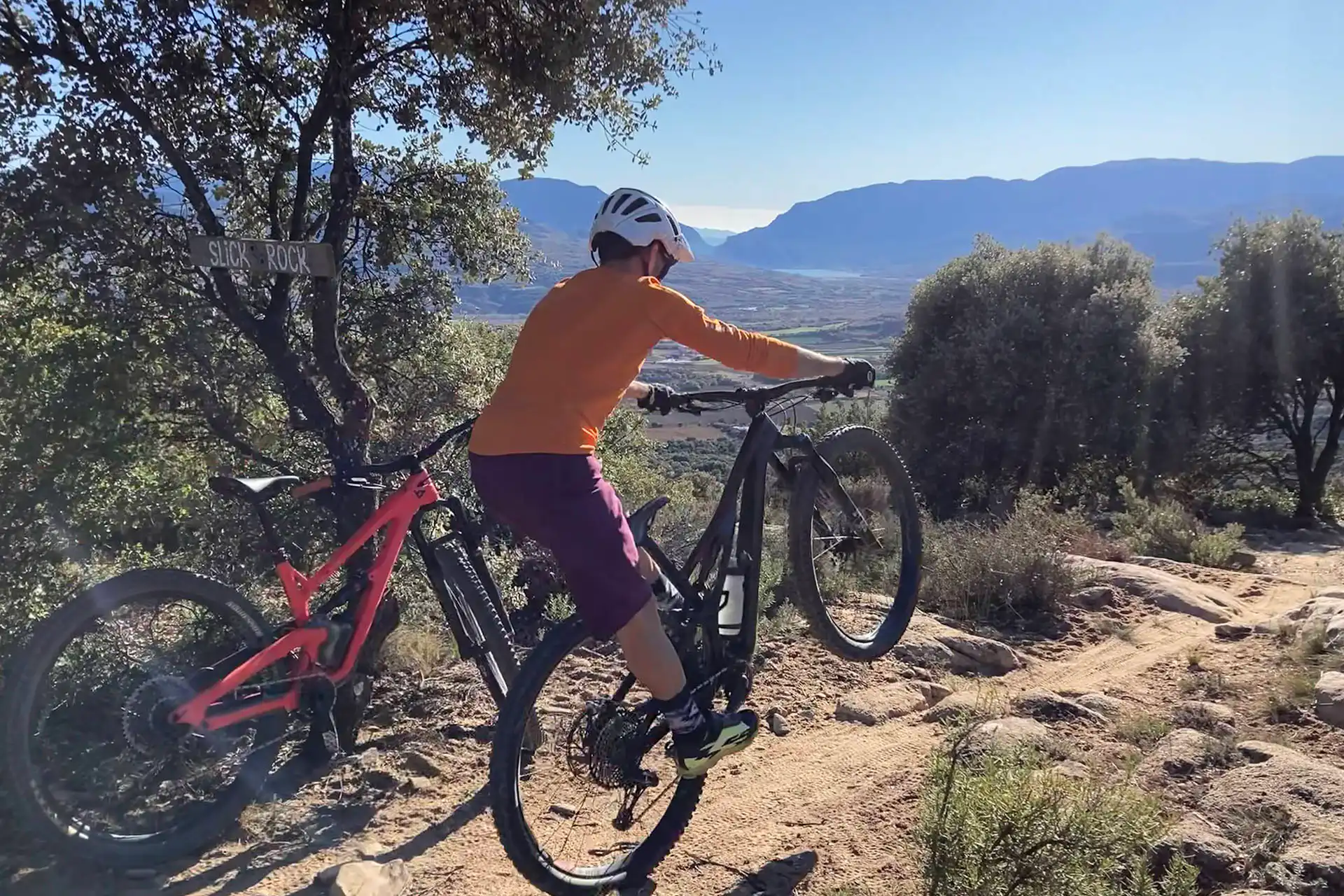
A family-friendly loop that still lets you taste some of our flowiest and most fun trails.
The ride splits into two loops of about 10 km each, so you can mix and match depending on fitness or motivation. While some riders tick off the full route, others can just do one half and chill at the link-up point.
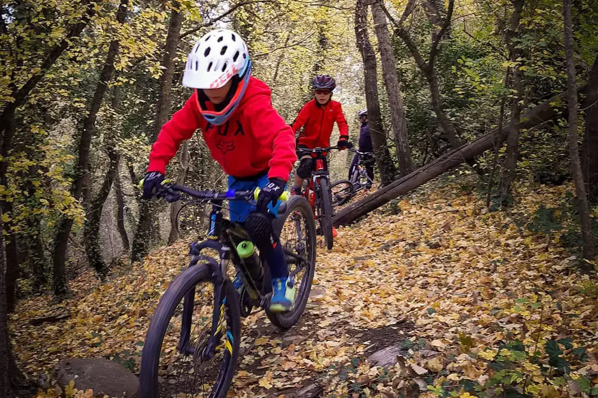
We kick things off with a climb on fire road up to Massanes, where the Forn and Lambretto trails drop in. These gullies ride like natural half-pipes, lined with fields and oak woods, before spitting you out onto the “Horse Trail” and back down to Tremp via the Font de l’Aleixo singletrack.
Rolling through Tremp again, we head into loop two, dropping down to the Noguera Pallaresa river and the Plans de Palau. This section is mellow, perfect for riding with the kids or bringing in fresh legs for the second half.
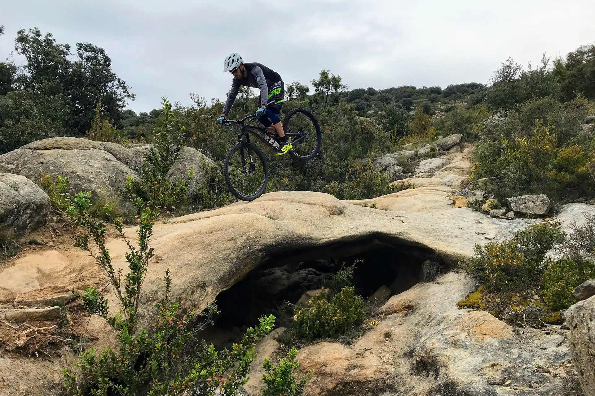
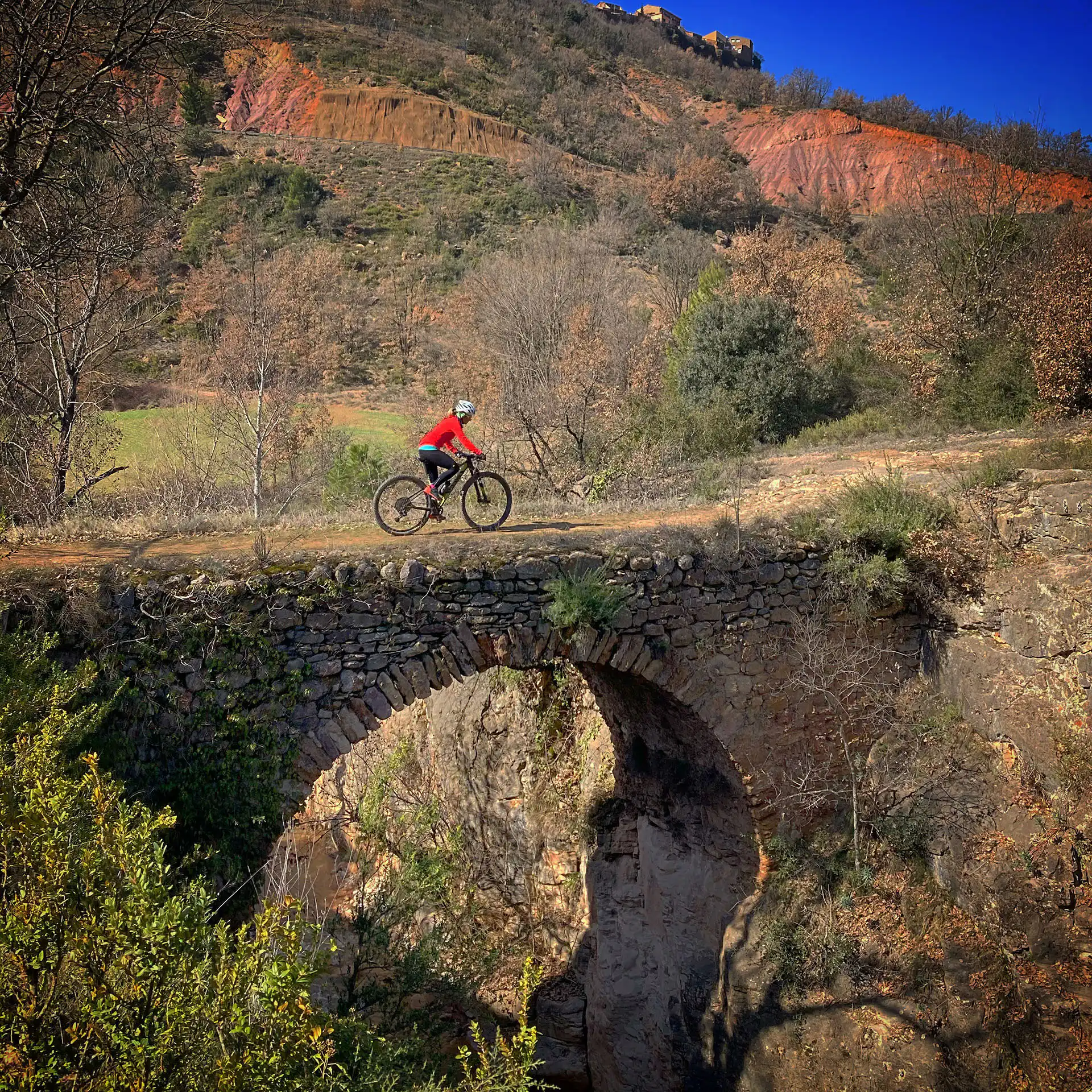
From there, it’s a quick spin on track to the bridge over the river, then onto the Plans de Palau where the Jabalí Trail starts. Short and sweet, with playful doubles and natural turns, it’s a grin-inducing piece of singletrack that links straight into the Lakes Route Greenway. We follow this mellow riverside track for a few k’s before climbing back onto the main fire road. From here, it’s just retracing your steps to roll back into Tremp.
The first loop runs through a clay section that used to turn into a sticky mess on rainy days or when the fog rolled in. With time, bikes have packed the trail down, mixing with leaves and litter to make it rideable in most conditions. Still, after heavy rain or thick fog, the gullies stay damp and not exactly fun to pedal, often building up a layer of greasy clay mud that’ll cake your tires and drivetrain. Ruts from passing riders also make maintenance a headache. The trickiest spot is at the end of the Lambretto gully, where even with a couple of wooden bridges to cross, there’s a good chance of getting bogged down.
The second loop, taking in the Jabalí and Plans de Palau trails, has way better drainage and usually rides well even when it’s wet. The only downside: on foggy days, being right next to the river, it feels like you’re riding inside a cloud.
Normally, the best conditions for this route occur in spring, autumn and summer.
Shade from the trees and the proximity of streams and little irrigation canals make the ride a lot more pleasant. Just avoid the hottest hours of the day and pack some mosquito repellent—especially around the Plans de Palau.
Always yield to other cyclists and pedestrians, warn of your arrival in time and slow down.
Do not scare the animals by shouting or making unnecessary noise. You are in their environment.
Take your dog on a leash, especially on the busiest trails.
Respect the signs or fences of private property or hunting grounds.
Follow the established routes, don’t take shortcuts.
Control speed and braking, avoiding skids that erode the ground unnecessarily.
Do not litter.
Avoid clayey areas on muddy days due to rain or fog. Respect the route symbols.
Check your bike before you go out and always carry a repair kit.
Use a helmet, wear gloves, goggles and protection.
Know your physical condition and choose the route based on it. Always evaluate the gradient, not just the distance.
Keep an eye on weather forecasts, they can be changeable.
It is recommended to do the routes with GPS navigation support. The routes are not physically signposted.
It is important to be insured in the practice of mountain biking, which is why we recommend obtaining a federal license or private accident insurance.
The Lo Podall association will not be held responsible for the implicit risks involved in a sporting activity of this type, such as falls, making dangerous descents, misdirection, misuse of common spaces with other activities, etc. Also, it will not be held responsible for the misuse of the routes or for possible imprudences committed by users.