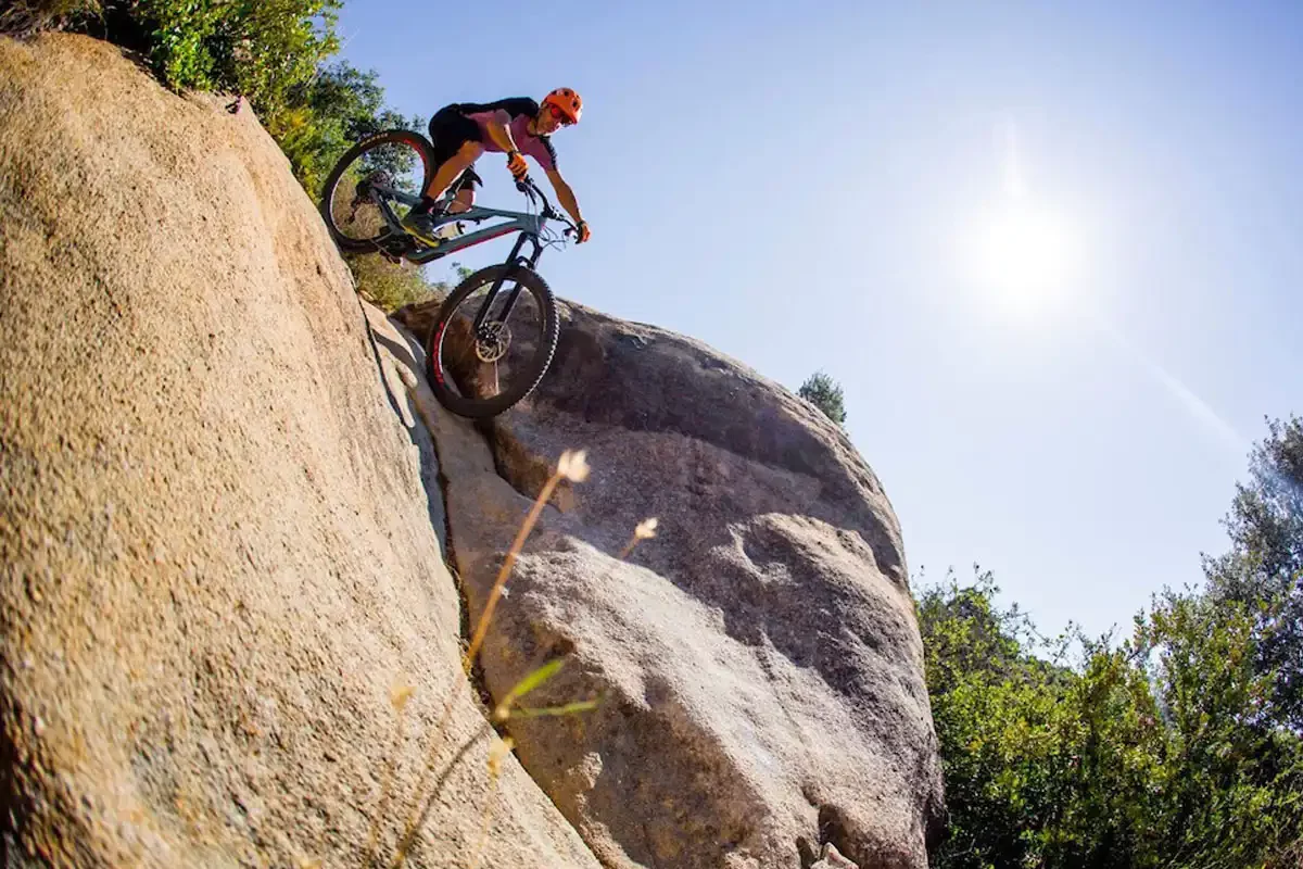
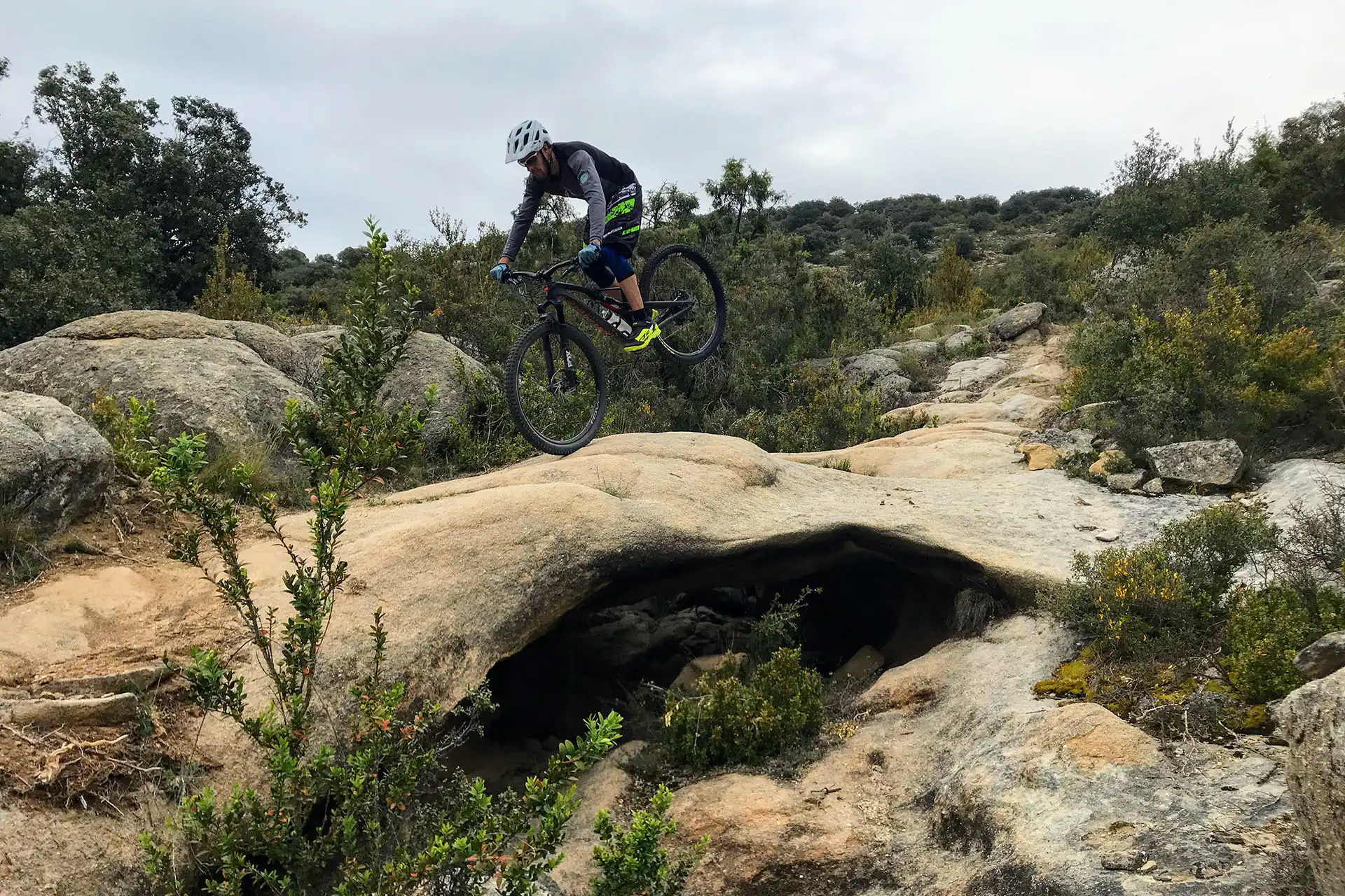
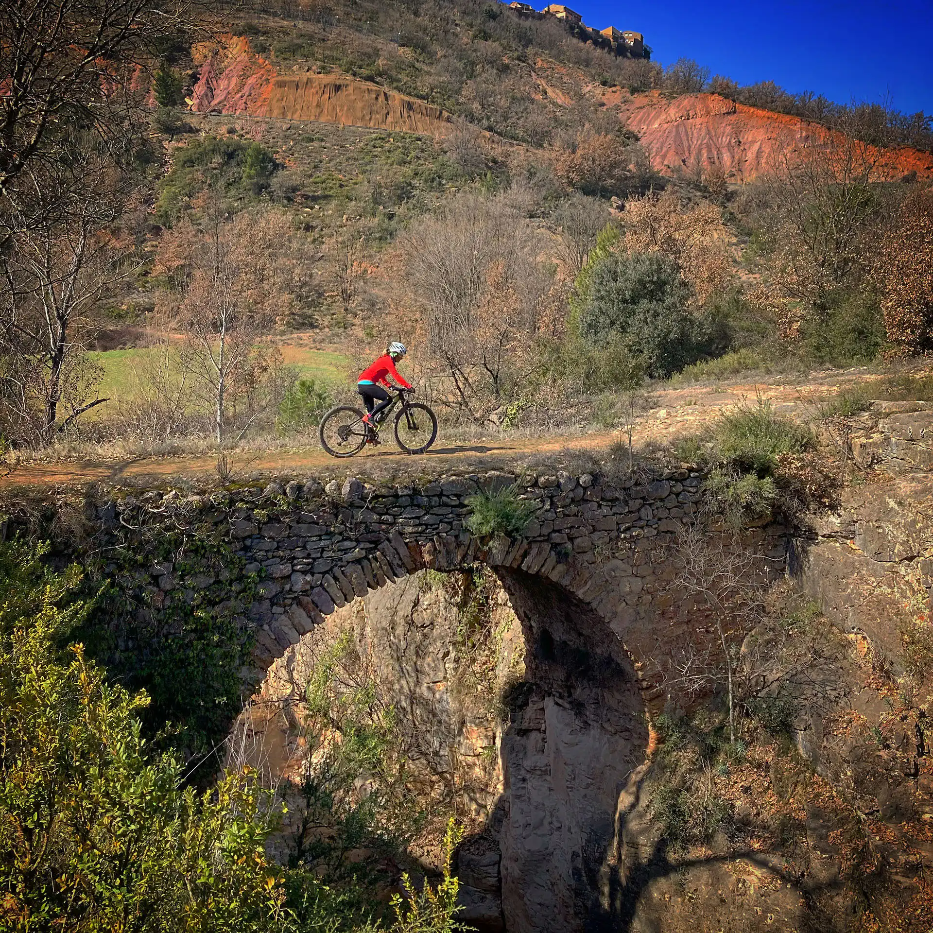
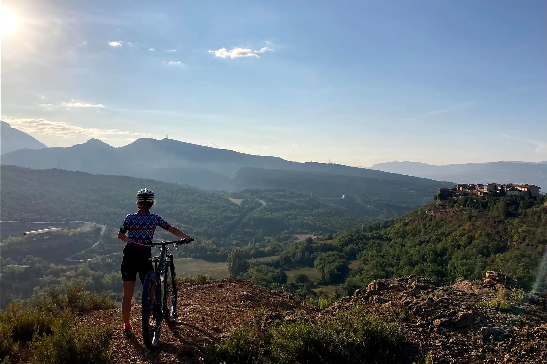
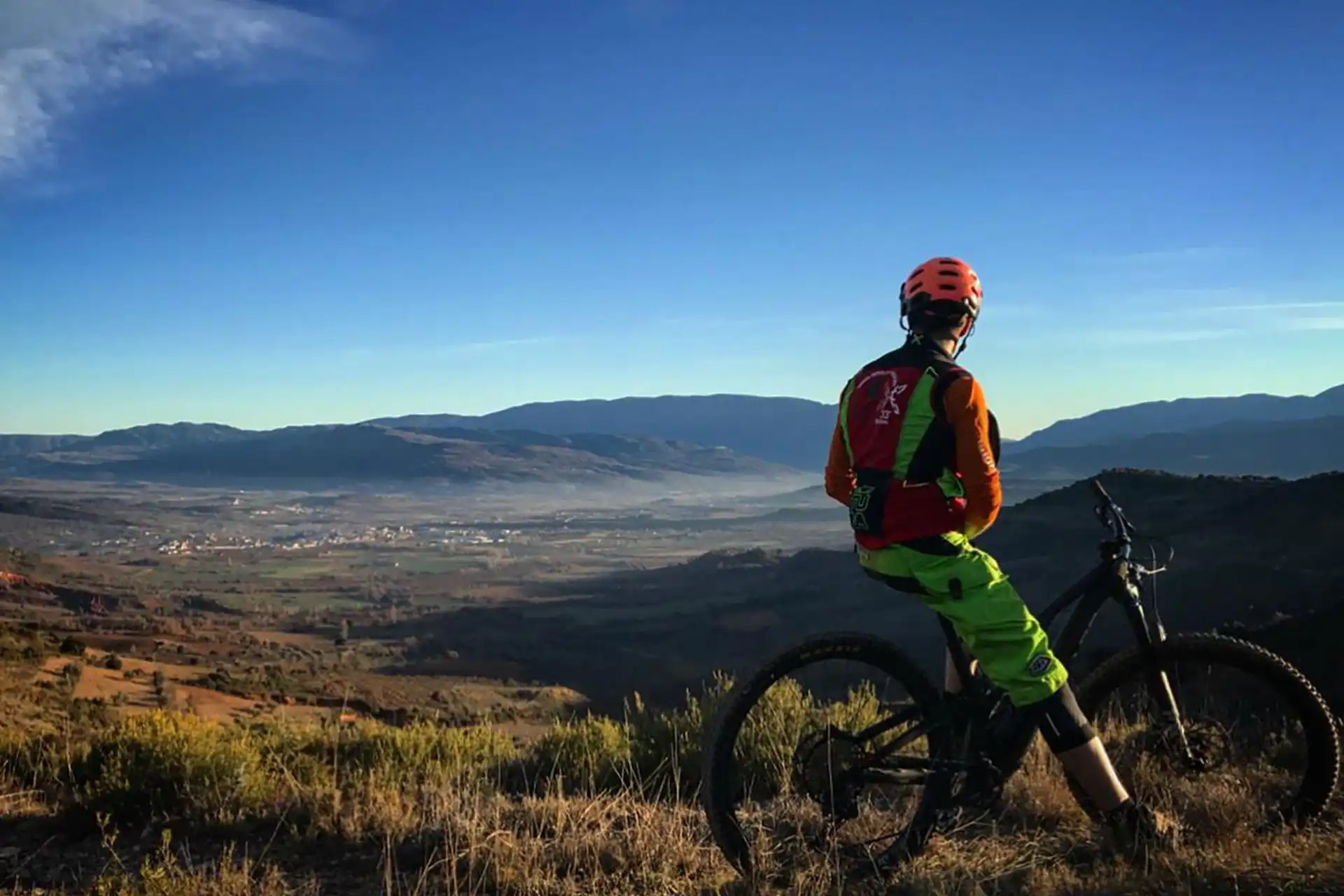
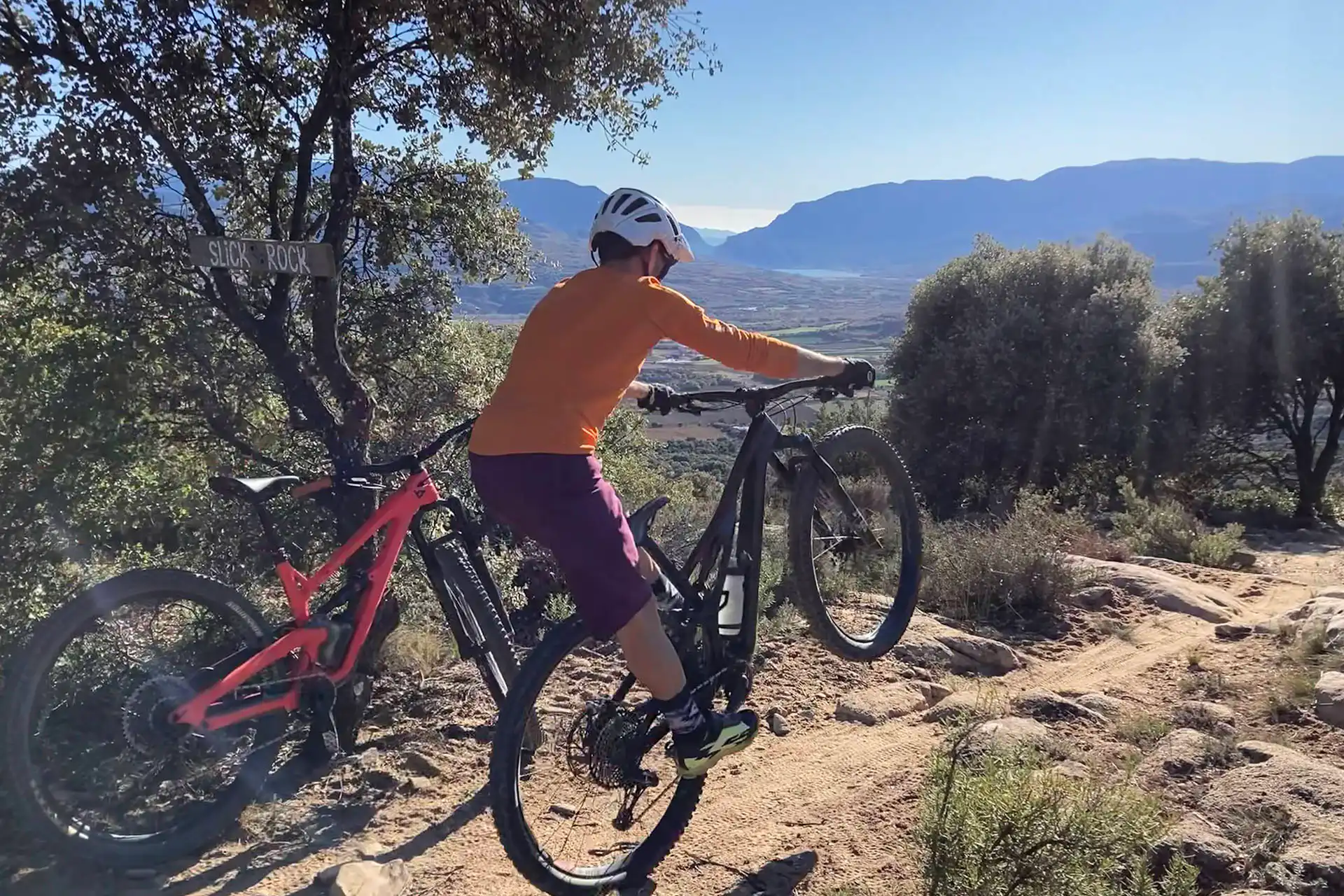
This route takes us to one of the area’s most legendary trails: Slick Rock, which is known for its sea rock slabs. The original SLICK ROCK route used to access this area was via the track from the Antenes to the Roc de Neret. However, some setbacks made us reconsider, and we now access the area via the old ITV trialera — a path and a track with fewer uneven sections than the previous route, but a more challenging journey.
La ruta parteix de Tremp per carretera fins a la pista dels Nerets, punt on podrem combinar aquesta ruta després de fer algun bucle de la Ruta 8 – NERETS LOOP. De la pista ens endinsarem al bosquet de la Coma, un corriol molt rodador, divertit i sense dificultat, que ens du a la pujada de la ITV, la qual combina trams de sender i pista, fent-se cada cop més dura fins a arribar a la pilona elèctrica, passat l’accés al Tazer i l’inici de l’Arizona.
We will continue a little on the trail to descend a stone cliff and continue on an uphill trail, with a couple of tough climbs until we reach the entrance to Slick Rock. We will descend this section finding the characteristic slab at the beginning and then navigating increasingly easier stone slabs until the end.
We will continue on the track until we find the Gavarres trail, which with some technical and demanding climbs will take us to the final slab, where we will test our brakes. Once on the track, the route will take us back to Tremp, navigating paths inside the Abeller and Daltons ravines, fun and not difficult sections. However, these are areas that are muddy on days of rain or persistent fog, so in adverse conditions we can avoid these sections by returning along the track and road to Tremp.
The entire Antenes area has very good drainage, even on rainy days. However, after several days of high humidity caused by heavy fog or rain, there is mud on the route from kilometre 10 onwards, where it enters the L’Abeller and Daltons ravines.
On days of heavy rain we may find that the stone slabs do not have the proper grip with the consequent risk of falling.
This route offers favourable conditions all year round.
The best grip conditions occur on days when the ground is wet and compacted due to rainfall in the previous days or weeks.
Please pay careful in the sandstone terrain curves also, at some points they can present sandbars that can play tricks on us.
Always yield to other cyclists and pedestrians, warn of your arrival in time and slow down.
Do not scare the animals by shouting or making unnecessary noise. You are in their environment.
Take your dog on a leash, especially on the busiest trails.
Respect the signs or fences of private property or hunting grounds.
Follow the established routes, don’t take shortcuts.
Control speed and braking, avoiding skids that erode the ground unnecessarily.
Do not litter.
Avoid clayey areas on muddy days due to rain or fog. Respect the route symbols.
Check your bike before you go out and always carry a repair kit.
Use a helmet, wear gloves, goggles and protection.
Know your physical condition and choose the route based on it. Always evaluate the gradient, not just the distance.
Keep an eye on weather forecasts, they can be changeable.
It is recommended to do the routes with GPS navigation support. The routes are not physically signposted.
It is important to be insured in the practice of mountain biking, which is why we recommend obtaining a federal license or private accident insurance.
The Lo Podall association will not be held responsible for the implicit risks involved in a sporting activity of this type, such as falls, making dangerous descents, misdirection, misuse of common spaces with other activities, etc. Also, it will not be held responsible for the misuse of the routes or for possible imprudences committed by users.

ROUTE NOT RECOMMENDED DUE TO MUD IN THE BARRANC DE L’ABELLER+ AREA
AS AN ALTERNATIVE, YOU CAN CONTINUE THROUGH ABELLER, AVOIDING THE ABELLER+ SECTION, RETURN TO THE ROAD AND REJOIN THE ROUTE