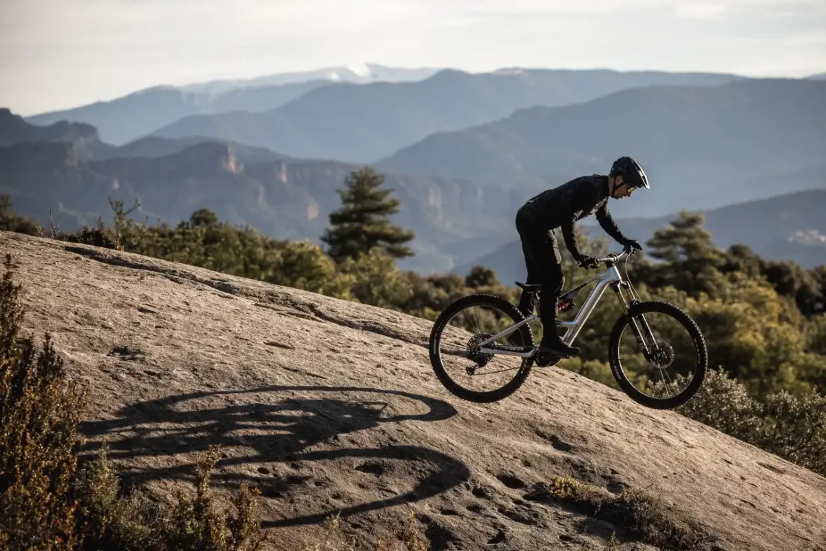
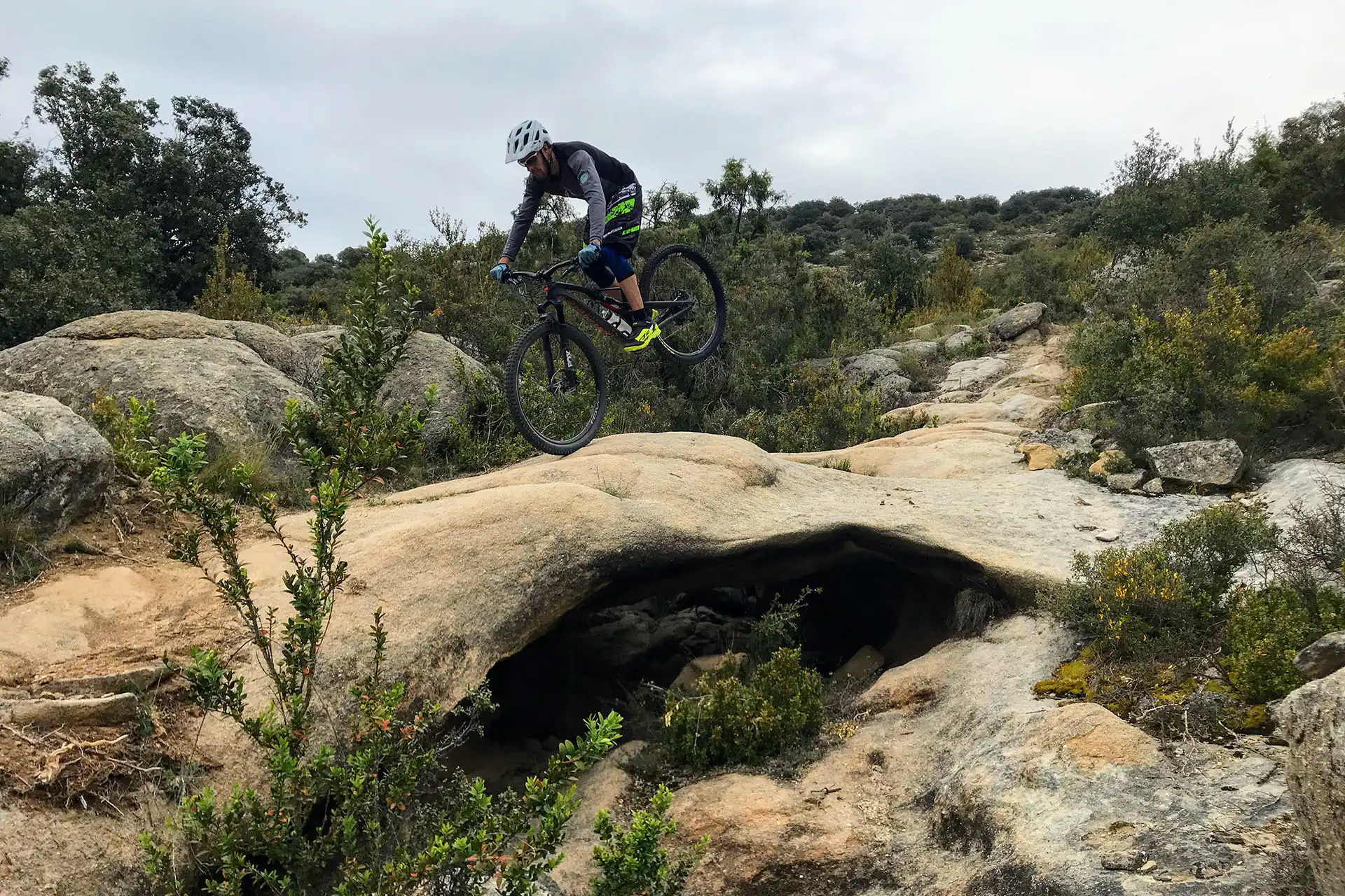
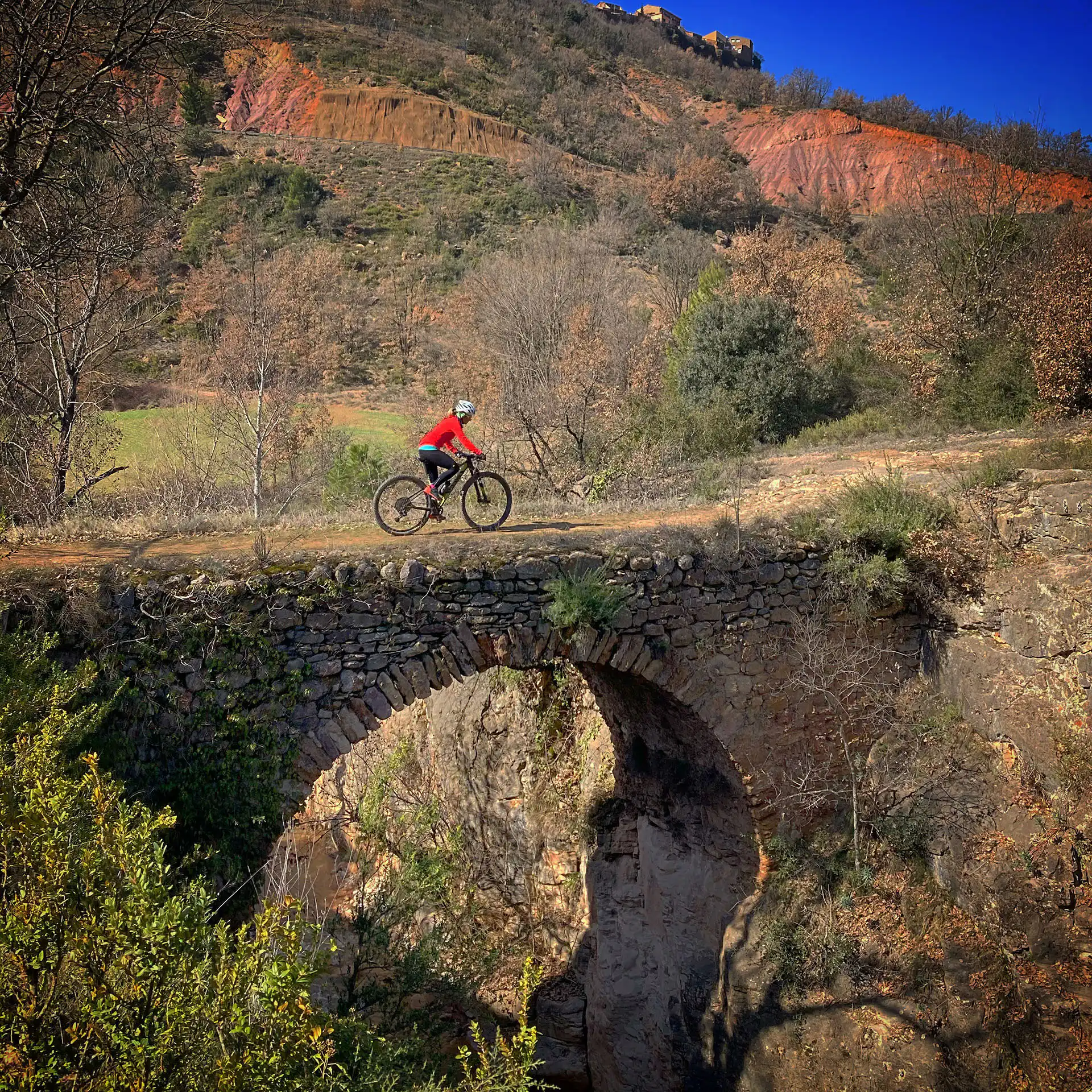
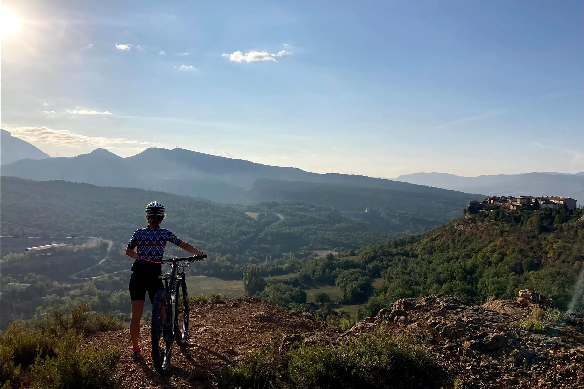
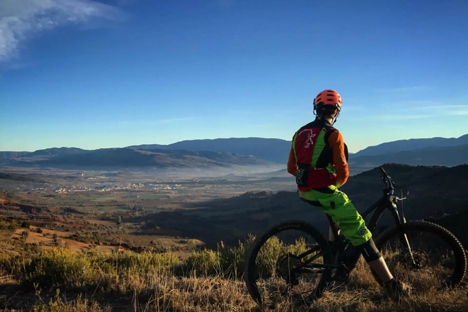
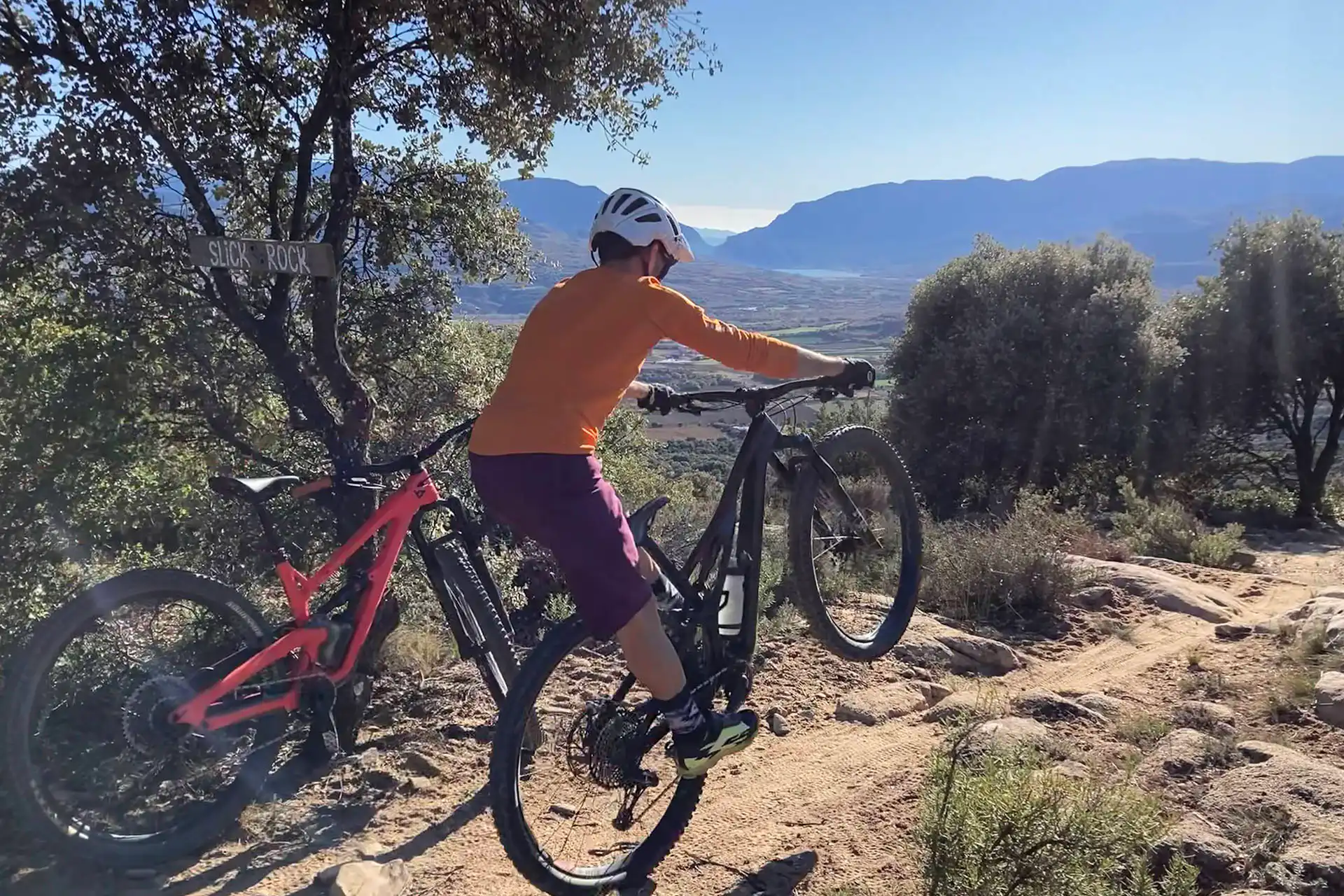
This route allows us to explore the Roques Pelades area in the easiest way possible. We will leave Tremp by trail to the village of Talarn, where we can get water at the Font de Caps fountain. From here, we follow the old path that connects to the ZZ Top route, which leads to Sant Engràcia road. We will follow this road to the entrance of the Roques Pelades trail, which is very varied. It starts with a section of rock garden, continues with rock slabs, and then goes through some rolling forest sections. The final section features a steep slope and an avoidable drop, which makes it quite technical. We will reach the final rock slab and cross the rocky street until we reach the viewpoint. There are a number of options available to us here, but this route will take us down through Valkyries, a path in the forest with a lot of flow. This will take us back to the Sant Engràcia road, which we will pass under on our way back to Tremp via Les Insules. This old path has been converted into a greenway.
The entire Roques Pelades area has very well-drained terrain, even on rainy days. However, after days with a lot of humidity (rain or fog), we can find mud at the beginning and end of the route. These parts can be avoided by following the road.
On days of heavy rain, stone slabs can lose grip, with the consequent risk of falling.
This route has good conditions all year round.
The best flu conditions occur on days when the ground is compact due to rain and humidity in the previous weeks.
The route is perfectly doable. However, it should be taken into account that the climb is on asphalt, and therefore, the hottest hours of the day should be avoided.
Always yield to other cyclists and pedestrians, warn of your arrival in time and slow down.
Do not scare the animals by shouting or making unnecessary noise. You are in their environment.
Take your dog on a leash, especially on the busiest trails.
Respect the signs or fences of private property or hunting grounds.
Follow the established routes, don’t take shortcuts.
Control speed and braking, avoiding skids that erode the ground unnecessarily.
Do not litter.
Avoid clayey areas on muddy days due to rain or fog. Respect the route symbols.
Check your bike before you go out and always carry a repair kit.
Use a helmet, wear gloves, goggles and protection.
Know your physical condition and choose the route based on it. Always evaluate the gradient, not just the distance.
Keep an eye on weather forecasts, they can be changeable.
It is recommended to do the routes with GPS navigation support. The routes are not physically signposted.
It is important to be insured in the practice of mountain biking, which is why we recommend obtaining a federal license or private accident insurance.
The Lo Podall association will not be held responsible for the implicit risks involved in a sporting activity of this type, such as falls, making dangerous descents, misdirection, misuse of common spaces with other activities, etc. Also, it will not be held responsible for the misuse of the routes or for possible imprudences committed by users.